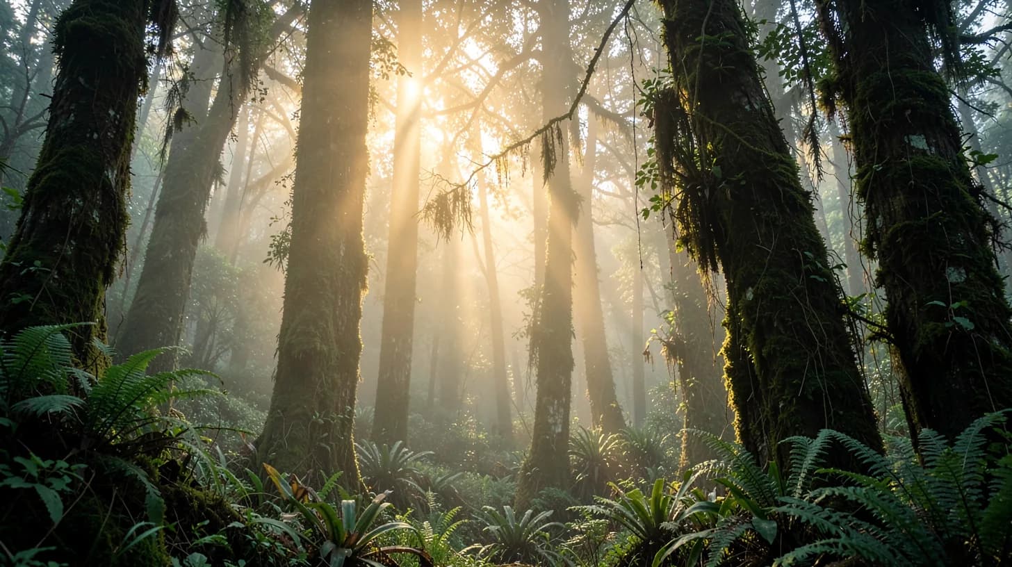
Drive east out of the Magdalena valley and up the flank of the Eastern Cordillera, and somewhere past 1,800 metres the world stops being hot. The light goes flat, the air turns cold and wet, and the trees start wearing coats — moss on the trunks, ferns growing out of branches, bromeliads stacked in the forks like abandoned nests. You have entered a cloud forest, and if you stand still for two minutes you will hear it working: a slow, constant dripping, on a day with no rain.
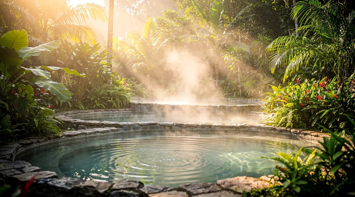
This forest is the reason the valley below is green. Everything that makes Huila liveable — the rivers, the coffee, the thermal springs, the fruit trees of Rivera — depends on a band of dripping woodland most visitors never climb high enough to see.
It is worth the climb. Cloud forests are among the strangest and most productive ecosystems on the planet, and Colombia holds a great deal of what remains of them.
Why the fog is not decoration
A cloud forest sits in the altitude band where humid air rising off the lowlands cools enough to condense — roughly 1,800 to 3,000 metres in this part of the Andes, though the range shifts with local geography.
What makes the ecosystem distinct is a process called fog interception, sometimes described as horizontal precipitation. The forest does not simply receive rain: leaves, moss and epiphytes comb water directly out of the passing cloud, and it runs down bark and stems into the soil. In well-studied cloud forests this can add a substantial fraction of the total water input on top of rainfall — water that arrives even during dry weeks, which is exactly why the streams below keep flowing in the dry months.
Strip the canopy and you do not just lose the trees. You lose the mechanism that harvests the cloud.
An ecosystem of passengers
The signature of a cloud forest is that most of the life is not rooted in the ground. Epiphytes — plants growing on other plants — cover every available surface: orchids, bromeliads, mosses, filmy ferns. A single mature tree can carry dozens of species, and the mats of moss and organic matter on its branches hold water like a sponge and host their own small worlds of insects and amphibians.
Colombia is the appropriate country for this. It has more orchid species than any other nation, on the order of four thousand, and more bird species than any other country on earth — a list of well over 1,800. Cloud forests are where a disproportionate number of them live, including the Andean cock-of-the-rock, the mountain tapir, and the spectacled bear, South America's only bear and a species that needs enormous connected territories to survive.
Colombia's first national park is one of these
In November 1960, Colombia declared its first protected area: Cueva de los Guácharos, in the far south of Huila, in the municipalities of Acevedo and Palestina and extending into Caquetá and Cauca. It covers roughly 7,100 hectares between 1,630 and 2,850 metres, running from Andean forest up into subpáramo.
It is named for the guácharo, or oilbird — a nocturnal, fruit-eating bird that roosts deep inside caves and navigates in total darkness by echolocation, clicking like a bat. The park also protects stands of black oak, the mountain tapir and the spectacled bear. Getting there involves a long drive south from Neiva, a stretch on foot, and permission arranged in advance through the national parks service. It is not a casual outing, and that is part of why it still works.
Closer to Rivera, the same forest type climbs the eastern ridges of the department, including the regional protected area around the Cerro Páramo de Miraflores.
What it is like to walk into one
- It is cold and it is wet. Expect 12 to 18°C, near-total humidity, and rain that does not need clouds. A rain shell is not optional and neither is a dry change of clothes.
- The ground is a sponge. Mud, roots, slick rock. Boots with real tread; trekking poles if your knees have opinions.
- Go early. Wildlife activity and the clearest visibility both come before mid-morning, when the cloud usually thickens.
- Take a local guide. Not for safety theatre — because a good guide will show you six things per hour that you would have walked straight past, and because the money should stay in the community that protects the forest.
- Move slowly and stop often. Cloud forest reveals itself to people who stand still. Loud groups see leaves.
What is actually at stake
Cloud forests are among the most threatened forest types in the world. The pressures are consistent: clearing for pasture and cropland, fragmentation into patches too small to sustain large mammals, and climate change lifting the base of the cloud layer higher up the mountain, which slowly strands the ecosystem above its own water supply.
The consequences are not abstract for anyone living below. Less canopy means less fog interception, which means streams that run harder in storms and thinner in droughts. Watershed protection in the Andes is not sentiment; it is plumbing.
The forest above the project
Phoenix Oasis will open on 30 June 2028 on 30 hectares near Rivera, in the foothills below that band of forest. The estate is described as holding six waterfalls and several springs — water that begins its journey higher up, in exactly the kind of misted woodland described here. Land regeneration is one of the stated pillars of the Phoenix Initiative Colombia foundation, and the logic of that commitment starts uphill: what happens to the forest above a watershed decides what arrives below it.
For future guests, the cloud forest will be within reach of the valley as a destination — a cold, dripping, extraordinary counterpoint to a warm valley. For now, it is simply there, doing what it has always done, one drop at a time.
More on the region in the Journal, and on the foundation's work on the foundation page.

 Colombia & Surroundings