 The Oasis
Why Rivera, Huila: How the Land for Phoenix Oasis Was Chosen
Thermal water, a climate made for training year-round, and a community worth building with: the founding intentions behind choosing Rivera, Huila, Colombia.
4 min read

The Oasis
Phoenix Initiative5 min read
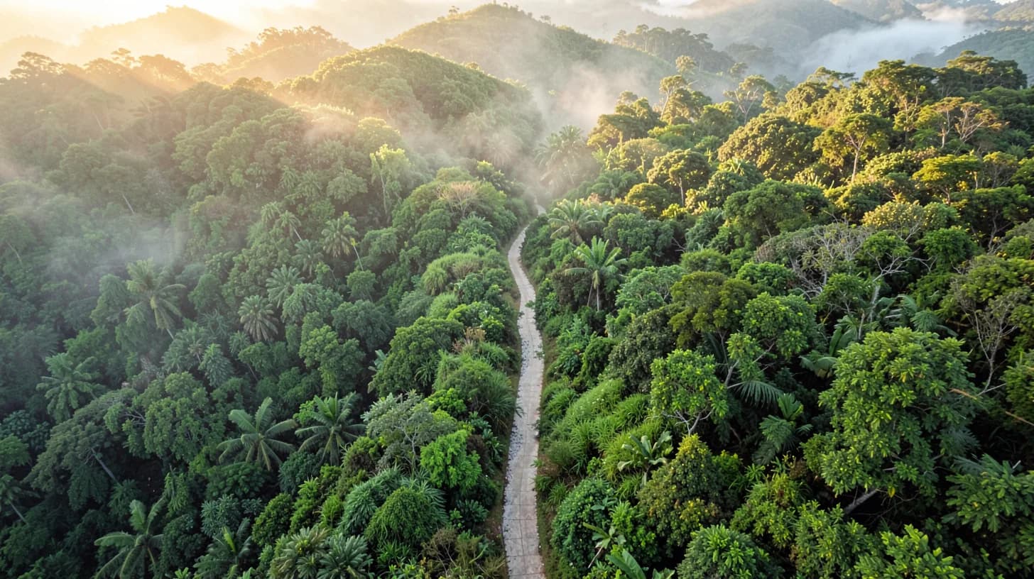
Almost everyone assumes a trail is a line between two places. Trail builders will tell you it is something else entirely: a long, narrow drainage structure that people happen to walk on. Get the water right and a path lasts for generations with a machete and an afternoon of work each year. Get it wrong and the same path becomes a gully in two rainy seasons, then a scar, then a landslide waiting for a bad night.
That distinction matters more in the tropics than almost anywhere. Rain here does not drizzle; it arrives with enormous energy in short bursts, and it finds every mistake. A trail cut carelessly on a steep Andean hillside will move a startling amount of soil into the nearest stream, and it will do it fast.
Phoenix Oasis will occupy thirty hectares of hillside in Rivera, Huila, and a network of trails is part of what is planned. This is the craft behind that kind of work — a discipline much older and much more precise than most walkers ever notice.
Water on a hillside wants to go straight down. So does a lazy trail. When the two agree, the path becomes the fastest channel on the slope, and every rainstorm scours it a little deeper.
The whole art of trail building is disagreeing with the water: keeping the tread across the hill rather than down it, and giving the water somewhere to leave every few metres before it gathers enough speed to carry soil. Everything below is a version of that single idea.
An amateur clears vegetation and calls it a trail. A builder cuts a bench: a shelf excavated into the hillside so the walking surface sits on undisturbed ground rather than on loose material pushed downhill. Fill-only tread feels fine on the first day and collapses on the first heavy night.
Underneath that, the crucial step is reaching mineral soil. The dark organic layer at the top of a tropical forest floor is spectacular for growing things and useless as a surface: it holds water, turns to slurry underfoot and never really dries. The tread has to be taken down to the firm mineral layer below, and the organic material used elsewhere.
Then there is the corridor. In this climate, cut vegetation does not stay cut. A trail cleared and abandoned for a season is a trail you will have to find again. That is not a failure of the work; it is the honest running cost of having paths in a place where things grow this fast.
Every path is an intervention, and a good one is planned around what it will disturb.
Trails fragment habitat and create edges, and edges change which species thrive. Routing matters: keeping away from nesting and denning areas, crossing streams at hardened points rather than wherever the line happens to arrive, and resisting the temptation to put a path along a watercourse simply because the walking is easy there. Sediment that leaves a trail generally ends up in water, and water is the most sensitive thing on any estate.
There is also a case for restraint in sheer quantity. A smaller network, well built and genuinely maintained, does less damage and gives a better experience than a spiderweb of half-formed paths that all lead to the same view.
Once the engineering is settled, the interesting part begins. Trail designers talk about control points: the anchors a route must touch — a viewpoint, a crossing, a particular tree — and the places it must avoid. The line between them is drawn to create rhythm: a climb rewarded by a level stretch, a tight enclosed section opening suddenly onto the valley, a sound of water arriving before you see it.
Effort deserves honesty too. The oldest tool for estimating walking time, proposed by a Scottish mountaineer in 1892, allows about an hour for every five kilometres of distance plus an extra hour for every six hundred metres of ascent. It is a rough guide anywhere and optimistic in tropical humidity, where heat, not distance, sets the pace. Publishing real climb figures rather than distances alone is the difference between a walk people enjoy and a walk they endure.
The Oasis is due to open on 30 June 2028. The trails are among the elements still being planned and staked, and that sequence matters: routes are chosen by walking the land in the rain, not by drawing lines on a map in an office.
If the work is done properly, you will never notice any of it. You will simply find that the path holds after a downpour, that the climb arrives in bearable pieces, and that the valley shows itself exactly when you turn the corner. That invisibility is the entire point of the craft.
You can see what else is planned for the estate on the facilities page.
The OasisThermal water, a climate made for training year-round, and a community worth building with: the founding intentions behind choosing Rivera, Huila, Colombia.
4 min read
 The Oasis
This is a projection, not a timetable. A day-by-day sketch of how a seven-day stay is currently designed to unfold, with the caveats stated plainly up front.
5 min read
 The Oasis
Close to the equator there is no summer and no winter, but there is a calendar. Here is how the year in Huila is expected to shape training, food and the rhythm of a stay.
5 min read